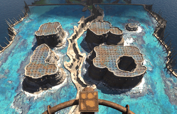
File:Survey island schematic.png
From Guild of Archivists
No higher resolution available.
Survey_island_schematic.png (608 × 392 pixels, file size: 234 KB, MIME type: image/png)
Summary
Schematic map of the Riven islands on Survey Island
Licensing

|
This screenshot contains property of Cyan Inc. which is used with permission. The terms of the permission do not include third party use. It is not released under Creative Commons Attribution-NonCommercial-ShareAlike 4.0. Please see GoArch:Copyrights for further information. |
File history
Click on a date/time to view the file as it appeared at that time.
| Date/Time | Thumbnail | Dimensions | User | Comment | |
|---|---|---|---|---|---|
| current | 04:08, 17 February 2021 | | 608 × 392 (234 KB) | Ldnew (talk | contribs) | Schematic map of the Riven islands on Survey Island |
You cannot overwrite this file.
File usage
The following 2 pages use this file: